News

Movella: SmartDelta opens up the market with the 2nd generation SmartPano.

Mobile mapping is big business. Amongst other, the automotive industry relies on continually updated visual and geospatial data to enable consumer-friendly features such as satellite navigation and location-aware speed limit information. New driving assistance and automated driving functions require even more detailed data about roads and traffic. Search and mapping services for computers and mobile phones also draw on a huge global data store of geolocated images.

Read more on the Movella website: https://t.ly/889y9

SmartDelta and Mosaic – Geospatial Imaging Leaders

SmartDelta and Mosaic – Geospatial Imaging Leaders testing out a multi-sensor mobile mapping system including the Mosaic X camera, LiDAR, high-precision GNSS, and thermal camera, all collected with the Smart Delta mobile mapping software which enables users to pair high quality imagery with other high-end sensors according to their needs.

https://www.mosaic51.com/ and https://smartdelta.nl/

SmartDelta released it’s new website

SmartDelta released their brand new website!

in the Self Support section you can find lots of useful info and sample data.


check it out on ww.smartdelta.nl


SmartDelta sold its first mobile mapping vehicle

SmartDelta has sold its first mobile mapping vehicle based on the MMR software. The MMR software provides open data that can be directly used in all kinds of external applications. It supports #camera #GPS, Lidar, GPR and Profilers. All in all, it is the perfect solution for data recovery projects.

Road Inspection 2.0 Dutch national highway

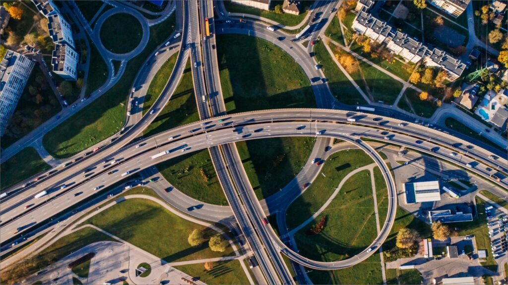
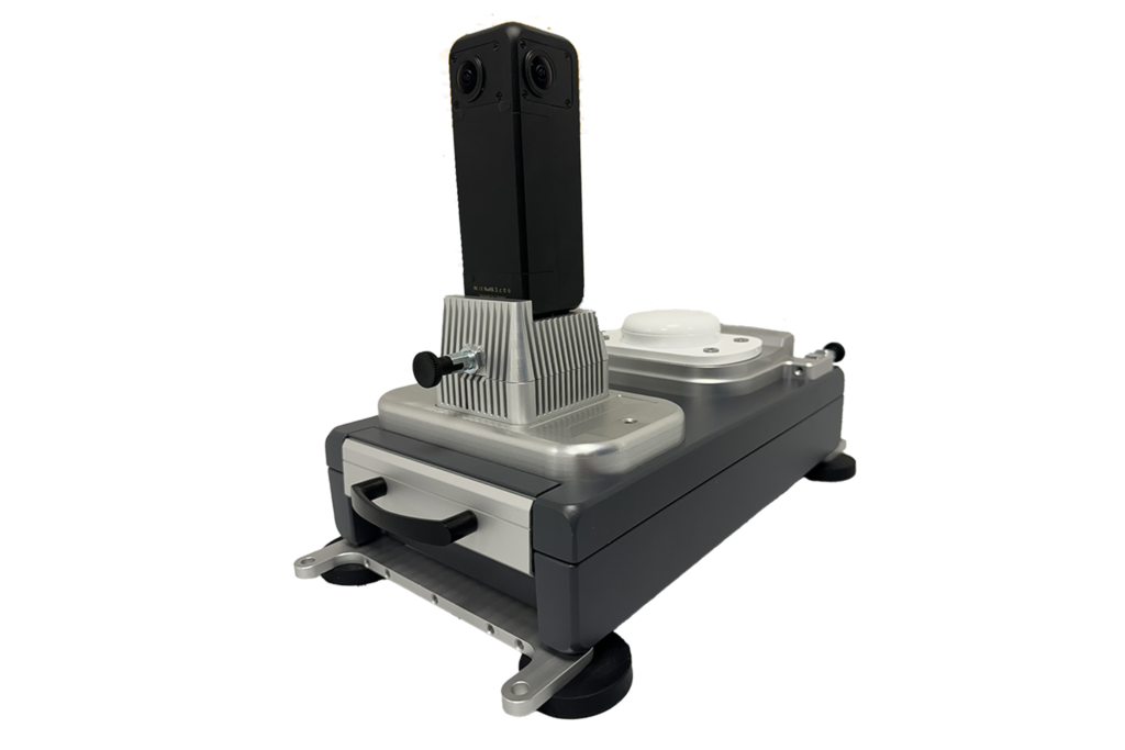
Receives subsidy for the following activity(s): The road network is critical to economies. Despite the introduction of road inspection vehicles, maintenance and inspection of the Dutch national highway network of 5357 kilometers alone is an enormously time-consuming task. The current road inspection equipment focuses mainly on inspection of the road surface quality and is stored in the inspection vehicle and later read out and manually processed into information for road inspectors from, for example, Rijkswaterstaat. In order to accelerate both the speed of the inspection (100 km/h) and the accessibility of road surface data and to broaden the road surface data to a complete road image (road surface, crash barrier, road signs, verge), Smart Delta wants to develop road inspection 2.0. This allows roads to be inspected faster and more efficiently.

The project is co-funded under the Union’s response to the COVID-19 pandemic.