MMS Software
Mapping Redefined
Asset management is critical for many businesses, but gathering and processing data can be a challenge. Fortunately, our latest mobile mapping recording software makes it easier to capture, process, and manage data from a wide range of sensors.
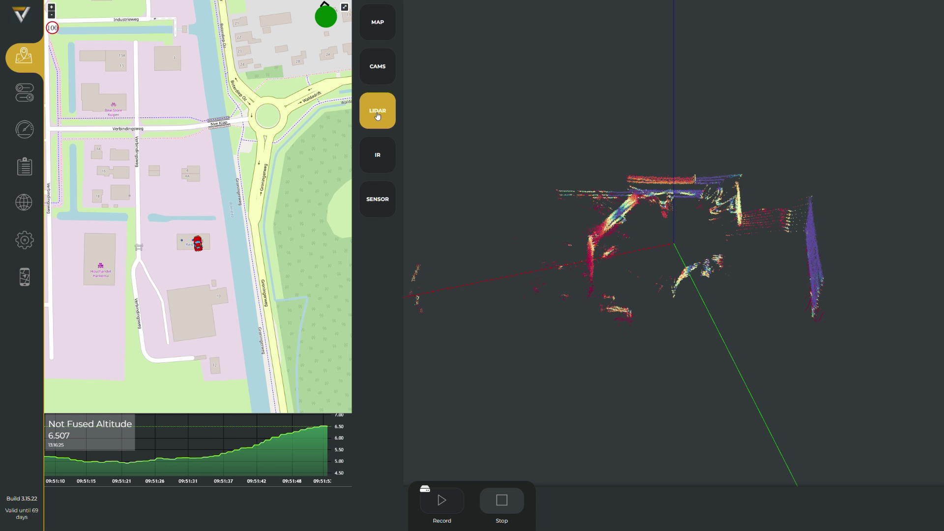
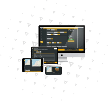
We will introduce our easy-to-use mobile mapping recording software that can combine 360 images, GPS/INS data, LiDAR data, and other sensor data to provide comprehensive data for asset management. The software is designed to be user-friendly and supports workers using various sensors to communicate with the software.
- Browser Based user interface
- Wide range of sensors supported
- Realtime control of all devices from 1 app
- Advanced operator support
- Support for Windows, Linux and Android
- Extremally scalable architecture
"Simplify your mobile mapping tasks with intuitive ease, paving the way for seamless navigation and precision in every project.""
Data sheet
Experience a sneak peek of all your linked sensors, including your camera system, LiDAR, IR, and INS/IMU, through our SmartDelta Mobile apping recorder software. Stay informed with clear and conspicuous status updates and error notifications, ensuring complete control for operators while driving, free from any concerns or problems.
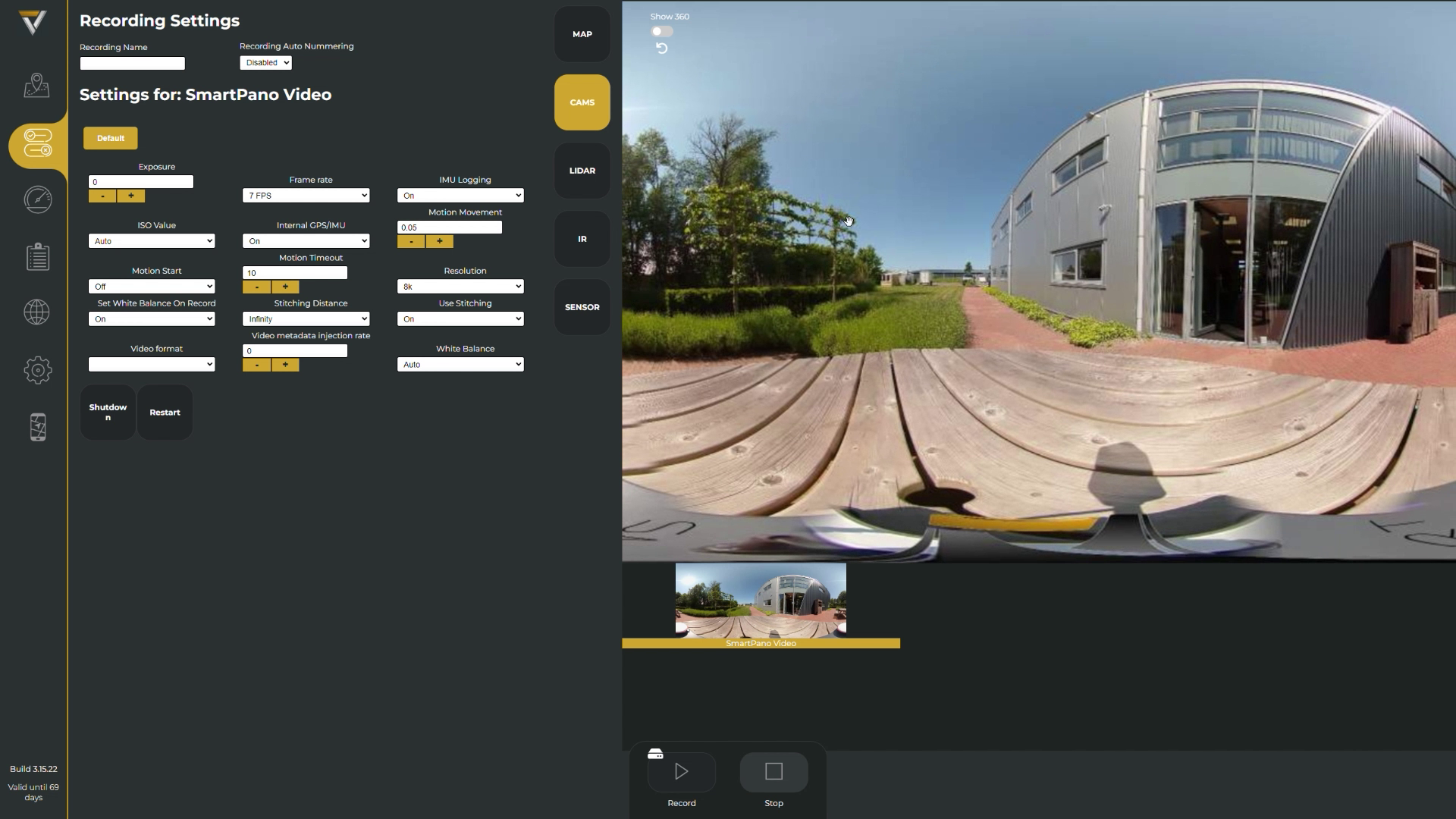
Adjust your sensor settings on the move. Simply select the sensor of interest and get all the relevant settings to be changed at your fingertips.
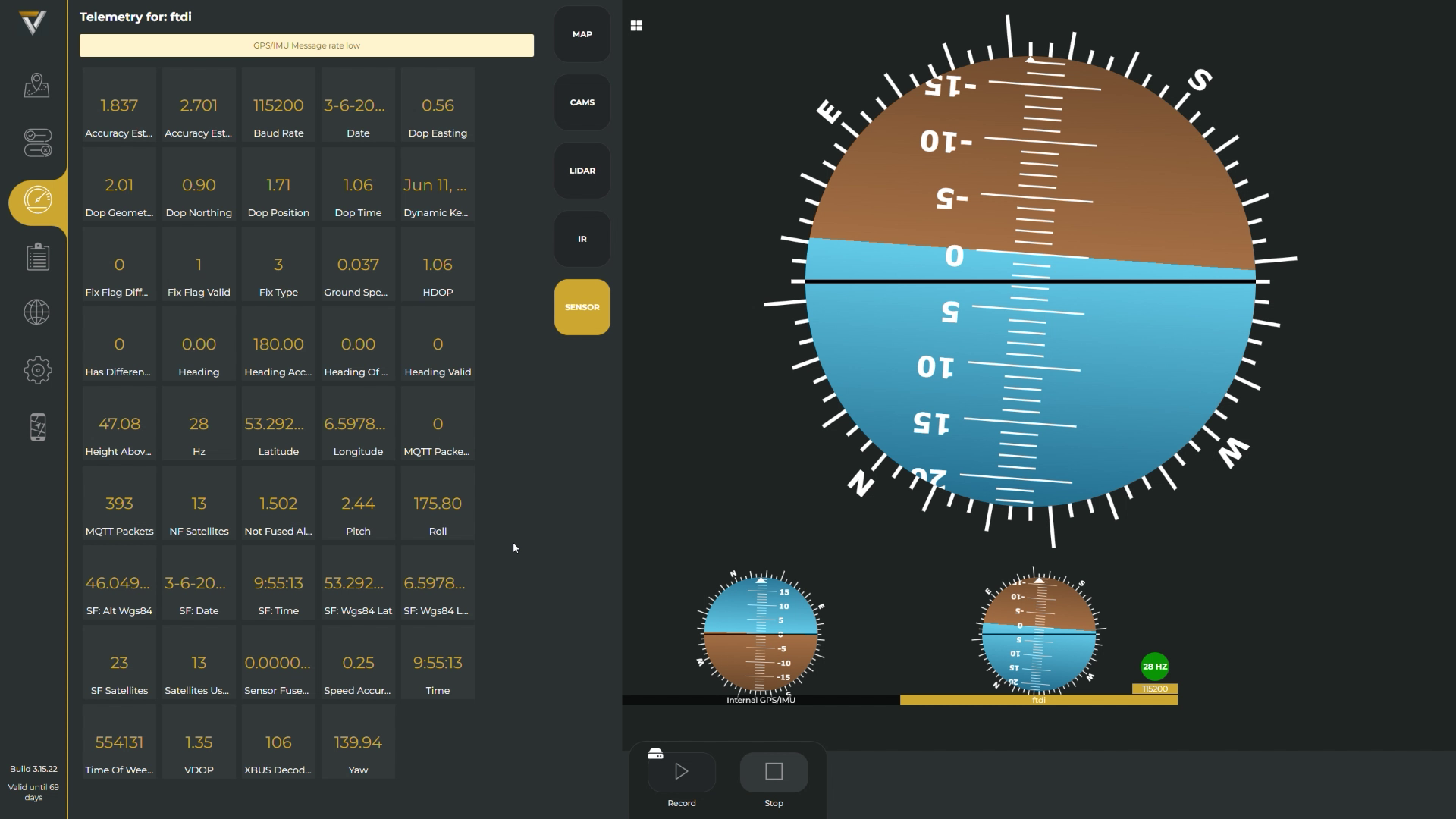
Explore all your sensor telemetry like GPS accuracy, frame rates and so on to let you know what”s going on in your system and devices.
Stay informed about the performance of your system with the generated log files while recording on the road. Easily determine if your system is functioning properly, and if any errors occur, simply drive to a safe location to pause and review the log files at your convenience.
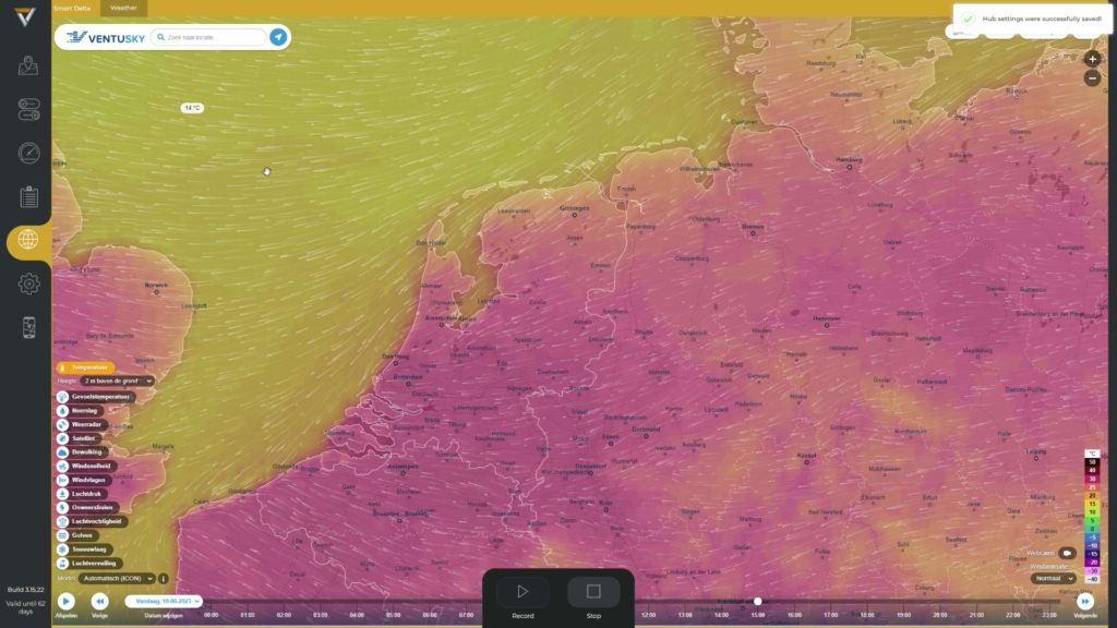
Add your own webpages to get relevant information like weather forecasts, traffic and other useful sources.
This page is made for optimal usability on tablets and mobiles.
MMS Software
Discover the convenience of our cutting-edge MMS Software, where you can effortlessly explore, fine-tune, and customize settings according to your preferences. Seamlessly navigate through maps, swiftly adjust parameters, and effortlessly modify configurations to ensure an unparalleled mapping experience tailored to your needs. Experience the power of intuitive control at your fingertips with our MMS software, empowering you to unlock the full potential of mobile mapping with ease.
Explore other systems
- High quality images with 8K 48 Mpix resolution
- Accurate record of its position and time
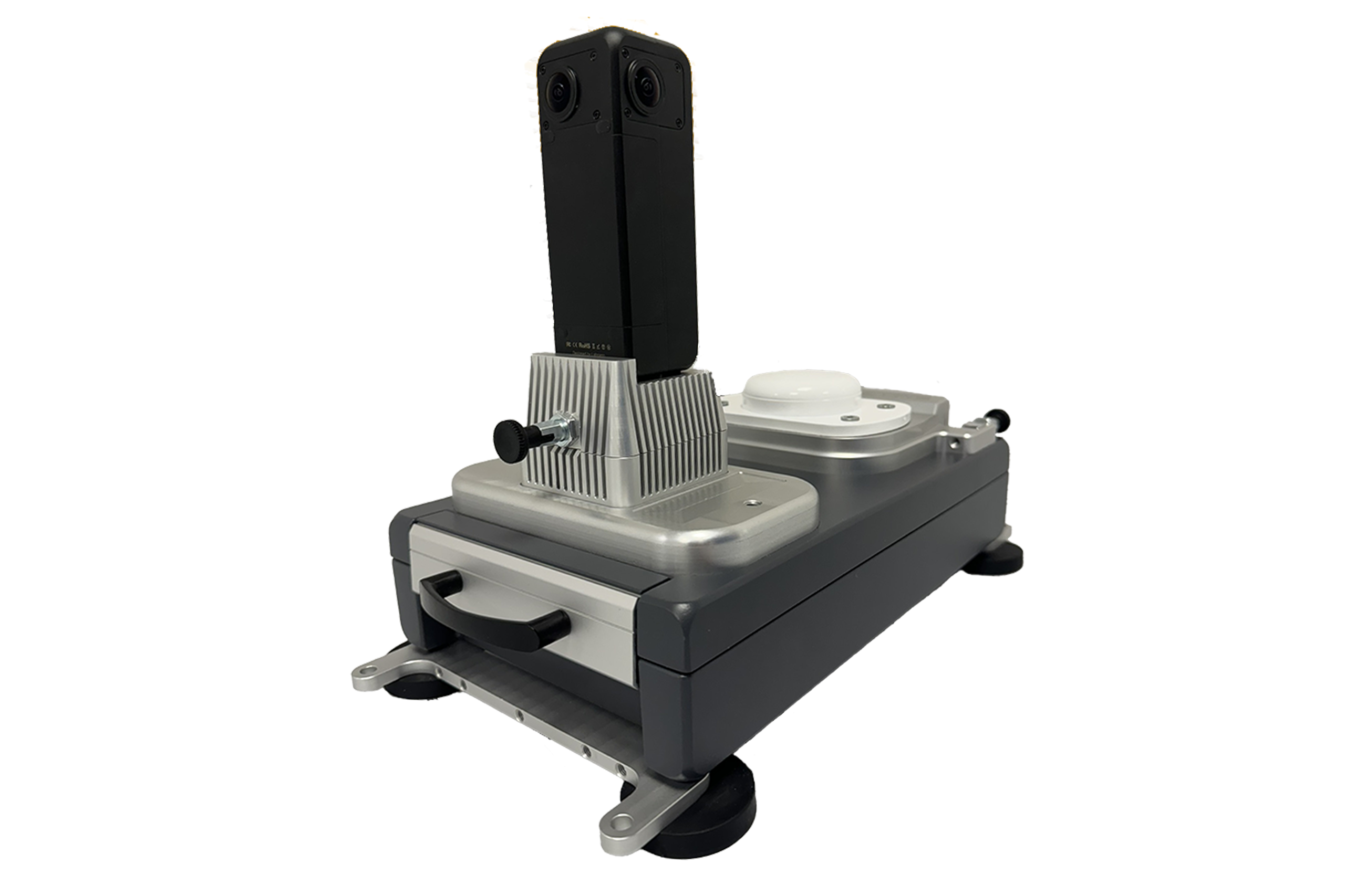
- Easy to use mobile mapping system
- User-friendly solution for creating seamless panoramas
- Compatible with Windows and Linux operating systems
- Supported images formarts: JPEG, PNG, TIFF RAW and more

