SmartDelta and Mosaic – Geospatial Imaging Leaders
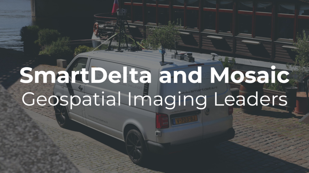
SmartDelta and Mosaic – Geospatial Imaging Leaders testing out a multi-sensor mobile mapping system including the Mosaic X camera, LiDAR, high-precision GNSS, and thermal camera, all collected with the Smart Delta mobile mapping software which enables users to pair high quality imagery with other high-end sensors according to their needs. https://www.mosaic51.com/ and https://smartdelta.nl/ https://youtu.be/ZDGi3lYKB6k